Enter the new chartplotter app on the iphone. With it I thought I'd give it a try. And it worked perfectly. It was also quite a revelation considering that my usually so trusted eyeball navigation showed to be quite some way off. I seriously begin to wonder why I haven't been running aground lot more earlier. Anyway, I guess I've just had a good safety margin.
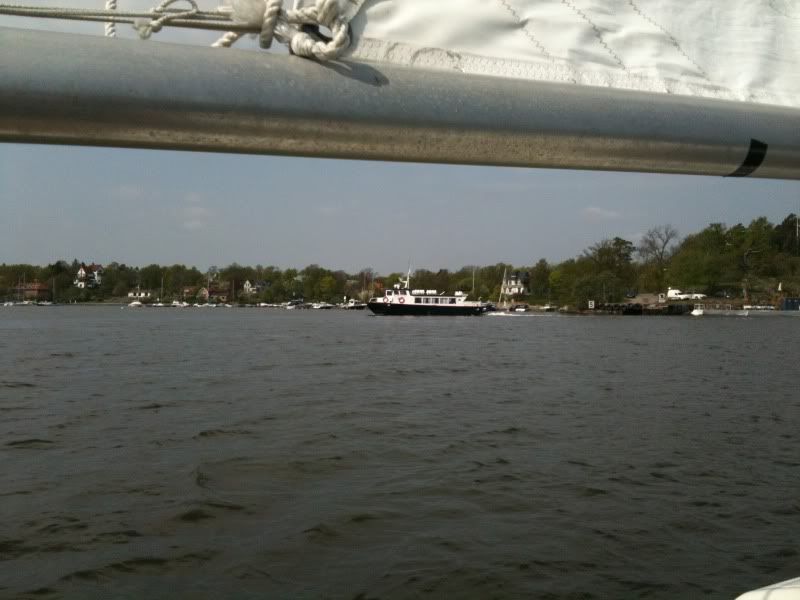
Now, here are some pic. First I met this little ferry which confused me by erratic maneuvers ,while I was tacking, to such at degree that I was considering calling her up on the VHF, but then I realized it was training docking maneuvers.

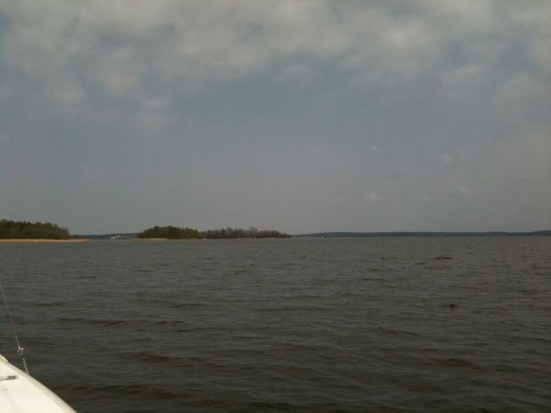
Then, as I got the island in sight, the wind died.

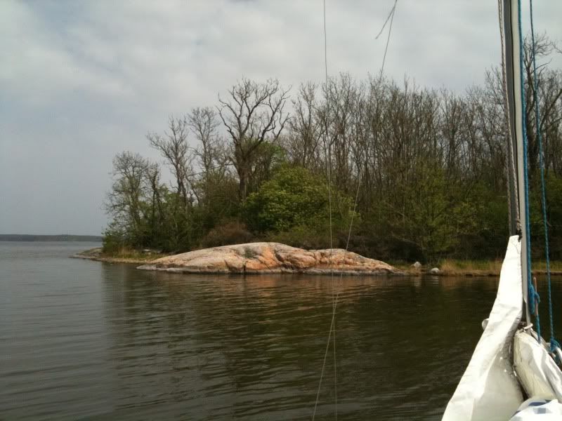
I drifted for a while, but then started the evil engine for the last mile. Anchored, had lunch and took a video of some birds screeching. Not much of an expedition. But it was warm and I had a perfect following wind on my way back. Bliss.

Oh and here's the video.
No comments:
Post a Comment